Drone could be used to monitor coastal erosion

 BBC
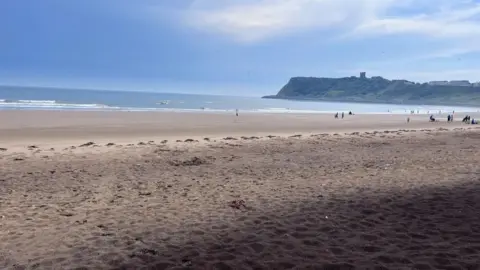
BBCA drone could be deployed on the North Yorkshire coast to monitor coastal erosion as part of a government-funded scheme.
A £75,000 funding application has been submitted to the Environment Agency (EA) by North Yorkshire Council to deliver an enhanced project across "complex" cliff zones.
If approved, the funding will include the purchase of the drone, associated licencing, data and software, and will contribute to training three officers.
Using drones with laser-mapping technology would assist the council in "improving the evidence base for coastal adaptation planning, evacuation planning and coastal strategy updates", a report said.
Currently, the council relies on biennial drone monitoring, supplied through the National Network of Regional Coastal Monitoring Programmes.
The data is often limited in complex cliff environments due to vegetation cover, infrequent capture and delays between data collection and delivery, according to the Local Democracy Reporting Service.
Several communities, including those at Flat Cliffs, in Filey, face "significant risk to residential property, access routes and essential infrastructure", the report said.
The council's shoreline management policy for the affected coastal sites is one of "no active intervention, meaning no new coastal defences are planned".
"As a result, effective monitoring of cliff instability and erosion is essential to inform adaptation planning, early warning, evacuation planning and community engagement," officers added.
On Thursday, councillor Malcolm Taylor, executive member for highways and transportation, approved the application to the EA's £12m coastal adaptation programme.
Listen to highlights from North Yorkshire on BBC Sounds, catch up with the latest episode of Look North.
