Liz Bonnin introduces a clip exploring water erosion in the Grand Canyon in Arizona.
Video
LIZ BONNIN: Hi, I'm Liz Bonnin, and I'm digging through the BBC's amazing archives to find out all about physical geography.
Now there are a few things you need to know for this next clip.
First, that the Grand Canyon, in the American state of Arizona, is one of the great natural wonders of the world.
Second, that just a few hundred years ago, most people believed that the world was roughly 6,000 years old.
And third, that one of the men who showed that was far from accurate was a Scottish geologist called James Hutton, whose study of rocks helped to prove that our Earth is way older than that.
Got all that? Grand canyon, 6,000 years old - wrong. James Hutton, Scottish rock man - right.
Okay, armed with that information, we can join physicist, Michio Kaku and his pal, Dr Dave Thayer, looking at how the Grand Canyon was carved out of rock by the Colorado River over many millions of years.
MICHIO KAKU: The Grand Canyon in Arizona. 270 miles of Colorado River flow across two states, carving out a chasm one mile deep. It's created a landscape on an epic scale.
DR DAVE THAYER: Let's have a seat here.
MICHIO KAKU: Now Dave, the Colorado River's a small little thing. How can the Colorado River gouge out such a huge canyon?
DR DAVE THAYER: The river is digging the canyon deeper at the rate of one foot every thousand years.
MICHIO KAKU: Mm-hm.
DR DAVE THAYER: And in that time all this rubble is eroding down into it from the rain.
MICHIO KAKU: I see…
DR DAVE THAYER: You can imagine how long that's taken because it's all changing to sand as it goes.
MICHIO KAKU: Wow. And how much rock has been carved out?
DR DAVE THAYER: Well there's 800 cubic miles of missing rock in the Grand Canyon.
MICHIO KAKU: A mile below us, the river continues to cut its path through the rock, carrying it away in its silty waters.
So we're talking about the power of water, right? I mean, water carved this cathedral out of nothing.
DR DAVE THAYER: Yep.
MICHIO KAKU: And how long has this erosion been taking place?
DR DAVE THAYER: Well at least 5.5 million years is what they say.
MICHIO KAKU: Alright.
Unimaginable eons of time were needed for water to carve out valleys. And Hutton noticed something else. The layers of rock revealed by erosion, showed a still greater scale of time.
Now Dave, when I look at a rock, it's boring. A rock is a rock is a rock. But you're telling me that each rock has a story, right?
DR DAVE THAYER: Well that's true, Michio. You can see all the different colours of the layers in the canyon.
MICHIO KAKU: Mm-hm.
DR DAVE THAYER: And each one has a different thing to tell.
MICHIO KAKU: Amazingly, long, long before the rock was eroded away, its layers had to have been formed.
DR DAVE THAYER: Oh, here's a nice place to see the strata.
MICHIO KAKU: On the side of the canyon. Yeah. I see, yeah, right here.
DR DAVE THAYER: This red layer right here would be a silt stone that formed at the edge of an ocean. And, you know, it took probably a thousand years to form one inch of it.
MICHIO KAKU: A thousand years? So you're telling me that all of human recorded history, going back to the Babylonians and the Egyptians…
DR DAVE THAYER: Would be just that much.
MICHIO KAKU: Just a few inches. Yeah.
DR DAVE THAYER: Isn't that staggering?
MICHIO KAKU: So this is like a time machine basically, right? A thousand years per inch, on average.
DR DAVE THAYER: On average, yeah. If you just took the whole length of just the sedimentary rocks in the canyon that have been deposited here.
MICHIO KAKU: Uh-huh.
DR DAVE THAYER: Floods and rivers and streams and the ocean coming in.
MICHIO KAKU: Staggers the imagination.
DR DAVE THAYER: It does indeed. As you walk down this trail, by the way, I wanted to tell you that every step you take, you go about 20,000 years into the past.
MICHIO KAKU: Is that right?
DR DAVE THAYER: Yeah. And we've taken quite a few steps already.
MICHIO KAKU: Quite a few steps.
DR DAVE THAYER: And there are a lot more steps to get all the way down to the river.
MICHIO KAKU: I see.
LIZ BONNIN: So those layers of rock are really a bit like the rings on a section of a tree trunk. Both giving a visible indication of how old they are.
Download/print a transcript of the video.
Liz Bonnin introduces the Grand Canyon with its complex and very ancient geology.
The Grand Canyon was carved out of rock by the Colorado River over millions of years. The strata of the canyon is discussed to explain what the layers tell us about how the canyon formed. Every human step into the canyon represents about 20,000 years' worth of erosion.
Teacher notes
Download/print the Teacher Notes for this episode (pdf).
Before watching the video
Locate the Grand Canyon on a map of the USA and ask students to write a locational description.
Look at images of the Grand Canyon and ask students how they think it was formed. Talk about the Colorado River and ask students what processes help to shape a river environment.
Introduce key terms such as:
Geologist: A scientist who studies geology.
Canyon: A deep narrow valley with a river flowing through it.
Erosion: The process where natural forces like wind, water, or ice wear away and transport soil, rock, and other materials from one location to another.
Strata: Layers of rock or sediment.
Sedimentary rocks: Rocks formed from the accumulation of sediment.
During the video
You may wish to stop at relevant points during this short film to pose questions and check understanding or wait until the end.
Useful questions might include:
- Where is the Grand Canyon?
- What has created the Grand Canyon?
- How long has erosion been taking place?
- What do the different layers of rock tell us?
- What are strata?
After watching
Discuss with students whether their predictions were correct about how the Grand Canyon was formed. Introduce the concept of erosion and how this can be categorised into four types: abrasion, attrition, hydraulic action and solution. Students should draw diagrams of each type of erosion. Ask students what types of erosion may have caused the Grand Canyon to be formed.
Look closely at images of the Grand Canyon. This is a good opportunity to practice field sketches. Ask students to sketch what they can see and to annotate the processes that have happened. The sketches could be drawn from different angles to demonstrate this dynamic landscape.
Ask students to predict what the Grand Canyon will look like in the future. Students could draw a storyboard to demonstrate how the Grand Canyon was formed and how it will look in the future, using clear geographical vocabulary to describe each step of its formation.
Where next?
Investigate the Grand Canyon further. It is a major tourist destination, but also a location of huge importance to many indigenous communities such as the Hualapai who are located in the western Grand Canyon Region of Arizona.
Students could research why tourists visit the Grand Canyon, the activities that tourists do there and why there may be conflict between the indigenous communities, tourists and the government.
Curriculum notes
This topic appears in Geography at KS3 (Hydrology) and KS4 / GCSE (Rivers and water) in England, Wales and Northern Ireland and National 4/5 in Scotland.
More videos from this series
What is the water cycle? video
Iain Stewart describes the water cycle including evaporation, condensation and precipitation.
How does a river change as it travels downstream? video
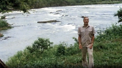
An archive clip of Sir David Attenborough as he follows the course of the Amazon River as it travels downstream.
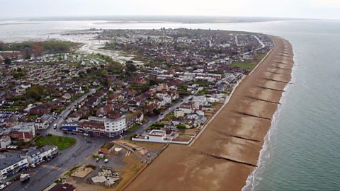
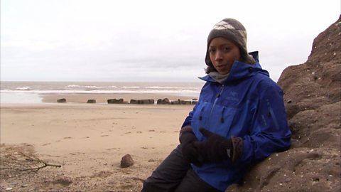
What coastal management techniques are being used on Hayling Island? video
Introduces the coastal management techniques used on Hayling Island in Hampshire to control drift and flooding.
What is a ‘spit’ and how does it form through longshore drift? video
Katie Knapman explains how a spit forms through longshore drift and is a dynamic physical process, constantly changing the coastline.
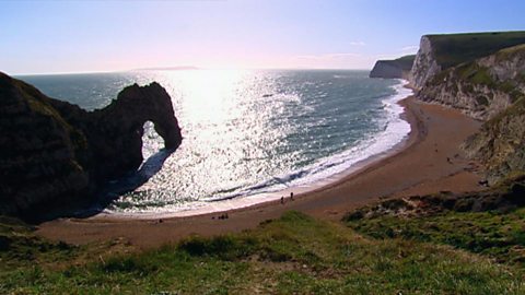
The geology of the Jurassic Coast. video
Exploring the Jurassic coastline and its geological significance with rocks spanning the Cretaceous, Jurassic and Triassic periods.
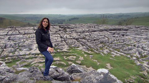
How have physical processes impacted the landscape of Yorkshire? video
Julia Bradbury explains the formation of Malham Cove including limestone pavement, highlighting the impact of glaciers on the landscape.
Glaciation and the UK coastline. video
Alice Roberts explains how Britain was once connected to Europe, but changed due to rising sea-levels following the Ice Age.
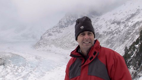
How has glaciation shaped the landforms of the Northern Hemisphere? video
Iain Stewart explains the glaciation of the Northern Hemisphere, focusing on the Yosemite Valley in California.
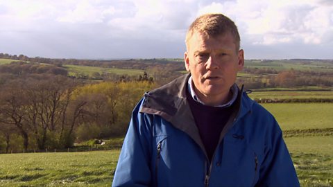
What evidence is there for climate change in the UK? video
Tom Heap considers the evidence that the UK climate might be changing - with more droughts, higher summer temperatures, but wetter winters.
How can plate tectonics impact oceans? video
Exploring how the plate tectonics impacts the coastline, focusing on California through study of the San Andreas fault.
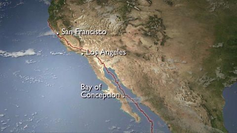
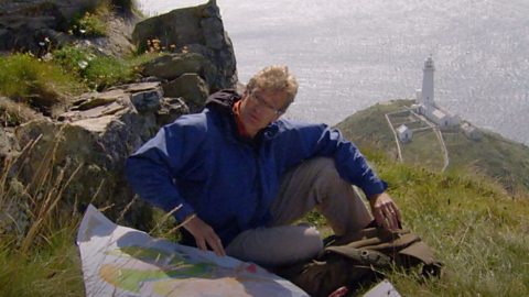
Plate tectonics in the UK - Anglesey. video
Nick Crane explores the geology and seismology of Anglesey - earthquake hot spot of the UK.
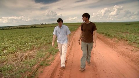
Deforestation and the growth of soya in Paraguay. video
Simon Reeves visits Paraguay to consider the deforestation that has occurred there to grow soy and the challenge of conservation vs development.